

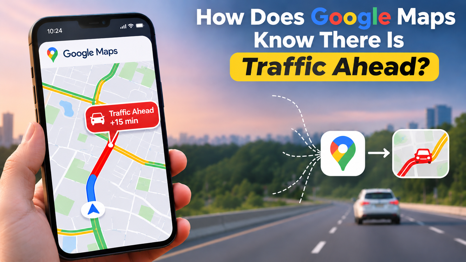
Have you ever been driving to work, following a route on Google Maps, when suddenly the road ahead turns red? A few seconds later, Google Maps suggests another route that could save you 15 minutes. But how does it know there is traffic ahead when you cannot even see the road?
It may seem like Google Maps has cameras watching every road, but that is not how the technology works. Instead, it uses a combination of smartphone location data, GPS signals, historical traffic information, machine learning, and real-time updates from different sources.
Google Maps continuously collects and processes traffic information to understand how vehicles are moving on roads. By analysing this information, it can estimate where traffic is building up, how long a journey might take, and which alternative route could help drivers reach their destination faster.
Let’s explore how Google Maps detects traffic, predicts road conditions, and provides real-time navigation updates.
1. Google Maps Uses GPS Data From Smartphones
One of the biggest sources of traffic information for Google Maps is GPS data from smartphones.
Most modern smartphones have built-in GPS technology that helps determine their location. When people use Google Maps for navigation, their devices can provide information about their location and movement, subject to Google’s location and data collection settings.
Imagine hundreds of drivers travelling along the same highway. Google Maps can analyse anonymised and aggregated location information from participating devices to understand how quickly vehicles are moving.
For example:
- If most vehicles are travelling at 80 km/h, traffic is probably flowing normally.
- If their average speed drops to 30 km/h, there may be congestion.
- If vehicles are moving extremely slowly or barely moving, a traffic jam may have developed.
By comparing the movement of multiple devices on the same road, Google Maps can identify changes in traffic conditions.
This is one of the main reasons its traffic information can update frequently without requiring traffic cameras on every road.
2. How Does Google Maps Identify Traffic Jams?
Google Maps does not simply look at the number of vehicles on a road. It also analyses their speed and movement patterns.
For example, imagine a busy road where vehicles usually travel at 60 km/h. Suddenly, the average speed drops to 10 km/h. This change can indicate heavy traffic, an accident, road construction, or another unexpected disruption.
Google Maps compares current vehicle speeds with normal traffic conditions for that particular road.
When it detects a significant difference, it can mark the affected road using different colours:
- Green: Traffic is moving smoothly.
- Orange: Traffic is moderately busy.
- Red: Heavy traffic or congestion.
- Dark red: Very slow-moving traffic.
These colours make it easier for drivers to understand road conditions without having to read detailed traffic reports.
However, traffic colours represent estimated conditions and may not always reflect the exact situation at that moment.
3. Google Maps Uses Historical Traffic Data to Predict Congestion
Real-time GPS information is important, but it is not the only information Google Maps uses.
The platform also analyses historical traffic patterns to estimate how roads are likely to behave at different times of the day.
For example, think about your daily journey to the office. You might notice that the same road becomes crowded between 8 AM and 10 AM, while traffic is much lighter around 11 AM.
Google Maps can learn these patterns by analysing historical traffic information collected over time.
This allows it to estimate traffic conditions even before congestion actually develops.
Historical traffic data can help Google Maps understand:
- Which roads experience heavy traffic during office hours.
- When school zones and commercial areas become crowded.
- Which highways are usually busy on weekends.
- How traffic conditions change during holidays.
- How long a particular journey normally takes at different times.
This information is particularly useful when planning a journey in advance.
For example, if you plan to leave home at 9 AM, Google Maps can use historical traffic patterns to estimate your travel time rather than assuming that every road will remain clear.
4. What Role Does Artificial Intelligence Play in Google Maps?
Artificial intelligence and machine learning play an important role in how Google Maps understands and predicts traffic conditions.
Processing traffic information from thousands or millions of moving devices is a complex task. The platform needs to identify patterns, compare current conditions with historical information, and estimate what might happen next.
Machine learning helps analyse these large amounts of information and recognise patterns that may be difficult to identify manually.
For instance, Google Maps may identify that a particular highway regularly experiences slow-moving traffic after a nearby event finishes.
By combining historical patterns with current road conditions, its systems can estimate whether traffic is likely to increase or decrease.
Google has also described using machine learning models to predict future traffic conditions by combining historical traffic patterns with real-time road information.
This is why Google Maps can sometimes warn you about potential delays before you actually reach a congested area.
5. How Does Google Maps Know About Road Accidents and Closures?
Traffic congestion is not always caused by the number of vehicles on a road. Accidents, construction work, road closures, and other unexpected events can also affect traffic.
Google Maps uses different information sources to identify these disruptions.
These can include:
Real-time movement patterns: If vehicles suddenly slow down or stop in an unusual area, the system may detect a possible disruption.
Official traffic information: Google can use information provided by government transportation departments and local authorities to identify road closures, construction work, and traffic restrictions.
User-reported incidents: Drivers can report certain road events through Google Maps, including accidents, stopped vehicles, road hazards, and other disruptions. These reports can help inform other drivers about potential problems.
For example, if several drivers report an accident on the same highway, Google Maps may display an incident warning and consider alternative routes.
However, not every slowdown automatically means an accident has happened. Google Maps needs to assess available information before presenting an incident or changing route recommendations.
6. How Does Google Maps Suggest a Faster Alternative Route?
One of the most useful features of Google Maps is its ability to suggest alternative routes when traffic conditions change.
Suppose you are travelling to a destination that is 20 kilometres away. Your original route usually takes 30 minutes, but an unexpected traffic jam increases the estimated journey time to 50 minutes.
Google Maps can analyse alternative roads and compare their estimated travel times.
It considers factors such as:
- Current traffic conditions.
- Road distance and speed limits.
- Historical traffic patterns.
- Road closures and restrictions.
- Estimated delays along different routes.
If another route is expected to save time, Google Maps may suggest switching to it.
Interestingly, the shortest route is not always the fastest route. A slightly longer road with smooth traffic may help you reach your destination earlier than a shorter road filled with congestion.
Google Maps can also update estimated arrival times as traffic conditions change during your journey.
7. Does Google Maps Track Every Driver to Find Traffic?
This is a common question, especially among people who are concerned about online privacy.
Google Maps does not need to identify every individual driver to understand traffic conditions.
Its traffic detection system can use aggregated and anonymised location information from participating devices to estimate how vehicles are moving along different roads.
Google also provides location controls that allow users to manage how their location information is used.
It is important to understand that location sharing, navigation activity, and Google’s broader location settings are different things. The information collected and used can depend on your device settings, Google account settings, and the services you use.
You can review these settings through your Google Account’s location controls.
8. Can Google Maps Predict Traffic With 100% Accuracy?
Although Google Maps is useful for real-time navigation, it cannot predict every traffic situation perfectly.
Unexpected events can change road conditions within seconds. A sudden accident, heavy rainfall, a road closure, or a large public event can create congestion that was not present when the route was calculated.
There can also be delays in receiving location information or incident reports, especially on roads with fewer active users.
Some factors that can affect traffic predictions include:
- Sudden accidents and vehicle breakdowns.
- Weather conditions and poor visibility.
- Temporary road closures.
- Public gatherings and special events.
- Limited traffic information in less populated areas.
This is why it is always a good idea to check road conditions before travelling, particularly when you have an important appointment or a long journey.
Conclusion
Google Maps knows there is traffic ahead by combining information from multiple sources rather than relying on a single technology. GPS signals from participating smartphones, historical traffic patterns, artificial intelligence, and user-reported incidents all contribute to its traffic detection and prediction system.
What makes this technology interesting is how it turns millions of small pieces of information into something useful for everyday drivers. Instead of waiting until you reach a traffic jam, Google Maps can identify changing road conditions, estimate delays, and suggest alternative routes.
The next time Google Maps warns you about traffic several kilometres ahead, remember that there is a complex system of data analysis and machine learning working behind that simple red line on your screen.
Frequently Asked Questions (FAQs)
Q1. How does Google Maps know there is traffic without cameras?
Answer: Google Maps can use aggregated location and speed information from participating smartphones to understand how vehicles are moving. By comparing this information, it can identify slow-moving traffic without needing cameras on every road.
Q2. Does Google Maps use artificial intelligence to predict traffic?
Answer: Yes, Google uses machine learning to analyse historical traffic patterns and real-time road conditions. This helps estimate future congestion, predict journey times, and suggest alternative routes.
Q3. How often does Google Maps update traffic information?
Answer: Google Maps updates traffic information regularly as new data becomes available. However, the exact update frequency can vary depending on location, available information, and network conditions.
Q4. Why does Google Maps sometimes show traffic that is not actually there?
Answer: Traffic information is based on estimates and available data, which may sometimes be delayed or inaccurate. Sudden changes in road conditions, limited location information, or outdated incident reports can cause Google Maps to display incorrect traffic conditions.