

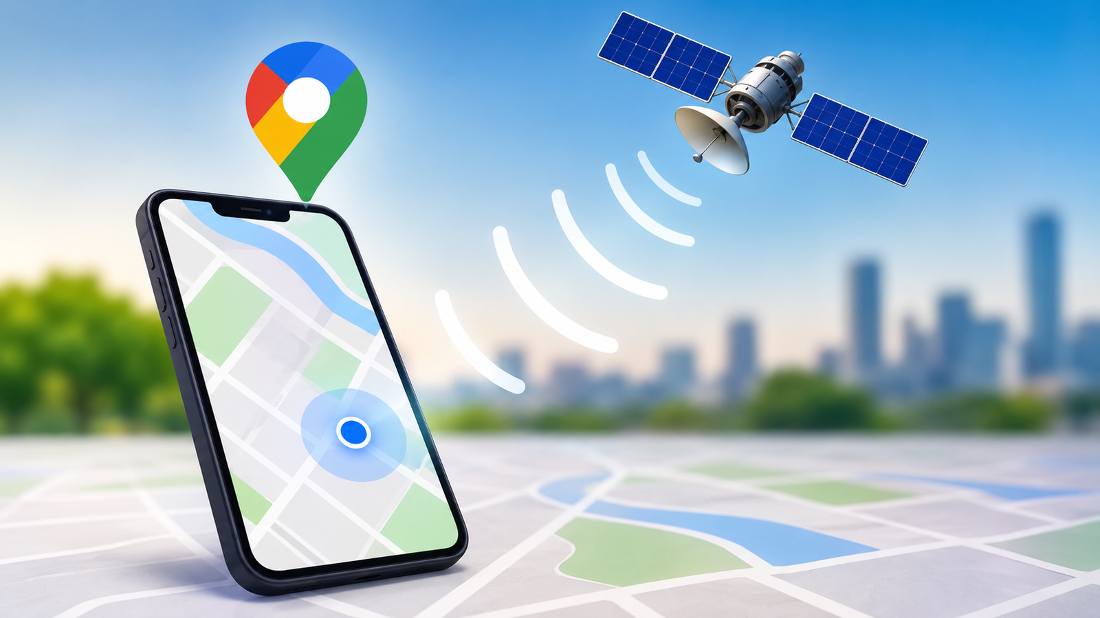
Have you ever opened Google Maps, looked at the blue dot, and wondered how your phone knows exactly where you are?
It can feel almost magical. You can be standing on a busy street, inside a shopping mall, or driving through an unfamiliar city, and Google Maps can usually figure out your location within seconds. It can even show which direction you are facing, estimate how long it will take to reach your destination, and adjust your route when you start moving in a different direction.
But Google Maps does not rely on one single technology to find you.
Your phone combines information from GPS satellites, nearby Wi-Fi networks, mobile networks, device sensors, and other signals to create the best possible estimate of your location. On devices that support Google’s Location Accuracy service, these different sources can work together to make location detection faster and more accurate, especially when GPS signals are weak or blocked. (Google Help)
So, how does Google Maps actually know where you are?
Let’s break it down in simple terms.
What Is the Blue Dot on Google Maps?
The blue dot you see in Google Maps represents your device’s estimated current location.
It is important to understand that your phone is not always getting a perfect, pinpoint location from a satellite. Instead, your device collects different signals and uses them to calculate where it is most likely located.
Depending on your phone, settings, and surroundings, location can be estimated using:
- GPS satellites
- Nearby Wi-Fi networks
- Mobile network towers
- Motion and other device sensors
- IP address information in some situations
Google says Android’s Location Accuracy service uses available wireless signals, including GPS, Wi-Fi and cellular networks, together with sensors such as the accelerometer, gyroscope and barometer. This combination is particularly useful indoors or near tall buildings, where GPS signals may be blocked or weakened. (Google Help)
How Does GPS Find Your Location?
GPS is probably the part of location technology most people are familiar with.
GPS stands for Global Positioning System. Your phone communicates with GPS satellites orbiting Earth. These satellites continuously transmit timing signals that your device can use to determine how far away the satellites are.
Your phone then uses signals from multiple satellites to calculate its position on Earth.
This is known as trilateration. In simple terms, your phone works out its distance from several known points and uses those distances to estimate its location.
GPS works especially well outdoors with a clear view of the sky. However, it is not always perfect.
Buildings, underground areas, roofs and other obstacles can make satellite signals weaker. That is why your location may sometimes appear inaccurate when you are inside a large building or surrounded by tall structures. (Google Help)
This is where other location technologies become important.
How Does Wi-Fi Help Google Maps Find You?
You may be surprised to learn that Wi-Fi can help determine your location even when you are not connected to a Wi-Fi network.
Nearby Wi-Fi access points can provide useful information about where a device is located. Google maintains information about wireless access points and their geographic locations, which can help location services estimate where a device is.
Imagine you are inside a large shopping center where GPS signals are weak. Your phone may detect several nearby Wi-Fi networks. If the locations of those access points are already known, your phone can use that information to help estimate its position.
Google explains that Location Accuracy can use information about Wi-Fi access points, cellular networks and GPS to improve location estimates. Google also uses crowdsourced information about wireless signals to improve location services. (Google Help)
This is one reason your phone can sometimes find your location surprisingly quickly indoors.
How Do Cell Towers Help?
Your phone is constantly communicating with your mobile network.
When GPS is unavailable or not accurate enough, your phone can use nearby cellular network information as another clue about your location.
The basic idea is fairly simple. If your phone can detect signals from known cell towers, the location system can use those signals to estimate approximately where you are.
Cell-based location is generally less precise than GPS, particularly when your phone is relying on large coverage areas. Google’s geolocation documentation notes that accuracy can vary significantly depending on the type of cell tower, signal strength and network density. (Google for Developers)
For example, a location estimate based mainly on a large cell tower might cover a much wider area than one based on GPS or nearby Wi-Fi networks.
Still, cellular information can be extremely useful when other signals are weak.
Why Does Google Maps Use Multiple Signals?
This is one of the most important parts of understanding how Google Maps knows where you are.
Instead of asking one technology for the answer, your phone can combine several sources and use the available information to produce a more useful location estimate.
Think of it like solving a puzzle.
GPS might tell your phone that you are somewhere within a certain area. Wi-Fi signals might narrow that area down. Cell tower information can provide another clue. Your phone’s sensors can help understand how you are moving.
The result is a combined estimate that can be more reliable than relying on only one source.
Google calls this approach Location Accuracy on supported Android devices. It combines information from GPS, Wi-Fi, mobile networks and sensors to help devices determine location more quickly and accurately. (Google Help)
What Do Your Phone’s Sensors Have to Do With Location?
Your phone contains several sensors that can help it understand movement and orientation.
These include sensors such as:
- Accelerometer
- Gyroscope
- Barometer
- Magnetometer on supported devices
The accelerometer can help detect movement and changes in speed. The gyroscope helps understand how the device is rotating or changing orientation. A barometer can provide information related to altitude.
These sensors do not replace GPS. Instead, they provide additional information that can help the device understand what is happening between location updates.
For example, when you are walking with your phone, the device can detect movement and changes in direction. This additional information can help location services maintain a useful estimate while your phone is moving through an environment where signals may change.
Google specifically lists accelerometer, gyroscope and barometer data among the sensor information that can be used by Location Accuracy. (Google Help)
How Does Google Maps Know Which Direction You Are Facing?
Have you noticed that the blue location marker sometimes has a small direction indicator?
Your phone can estimate which way you are facing by using sensors that detect movement and orientation.
The magnetometer, often described as a digital compass, can help determine direction. The gyroscope can also help track changes in orientation.
Google Maps combines these signals with your location information to give you a better understanding of where you are and which direction you are moving.
That is why the map can rotate as you move and why navigation can show the direction you are traveling.
However, these sensors are not always perfect. Nearby metal objects, electronic interference and other environmental factors can affect compass accuracy. This is one reason Google Maps may occasionally ask you to calibrate your phone.
Why Is Google Maps Sometimes Wrong About Your Location?
Despite how impressive location technology is, Google Maps can still make mistakes.
You may have seen the blue dot appear a little away from the road you are actually standing on. Sometimes it may jump around or show a large circle around your position.
This generally means your device is less certain about its location.
Some common reasons include:
- Weak GPS signals
- Being indoors
- Tall buildings blocking satellite signals
- Poor cellular coverage
- Limited nearby Wi-Fi information
- Sensor interference
- Environmental conditions
When location confidence is lower, Google Maps may show a larger accuracy circle around the blue dot.
This does not necessarily mean that Google Maps is broken. It means the available signals are not strong enough to determine your position with the same level of precision.
How Does Google Maps Work Indoors?
Indoor location can be more challenging than outdoor location because walls, roofs and large structures can interfere with GPS signals.
This is why other sources become especially valuable indoors.
Wi-Fi access points, cellular signals and device sensors can help your phone estimate its location when satellite signals are weak or unavailable. Google specifically notes that Location Accuracy is useful in environments such as buildings and areas near large structures where GPS may be obscured. (Google Help)
That is also why location accuracy can sometimes improve after you move closer to a window or walk outside.
Does Google Maps Use Your IP Address to Find You?
An IP address can provide location information, but it is generally much less precise than GPS or other device-based methods.
Your IP address is associated with your internet connection, and it can sometimes be used to estimate a general geographic area.
Google explains that IP-based geolocation can be used when other location information is unavailable. Its developer documentation describes IP geolocation as a lower-accuracy fallback compared with Wi-Fi and cell-based signals. (Google for Developers)
So, your IP address usually cannot tell Google Maps exactly which building you are standing in.
It is more useful for determining a broader area.
How Does Google Maps Track You While You Are Driving?
Navigation becomes more interesting when you start moving.
Google Maps does not simply check your location once and leave it there. Your device continues providing location updates while you travel.
As your phone moves, changes in GPS, Wi-Fi, cellular signals and device sensor readings can help update its estimated position.
Maps can then use that information to show your movement along the road.
It also uses other data and mapping information to help provide navigation, such as road networks, route information and traffic conditions. Google says location information helps Maps identify where users are and navigate them to destinations, while location data can also contribute to traffic predictions. (Google Privacy & Terms)
How Does Google Maps Know You Are on a Particular Road?
Suppose your phone’s location estimate places you near a road, but the actual GPS reading is slightly to the side.
Google Maps can compare your estimated location with the road network shown in its map data.
This helps the navigation system determine which road you are most likely traveling on.
For example, if your GPS signal places you a few meters away from a highway, Maps can still understand that you are probably driving on that highway rather than somewhere in a field beside it.
This is one reason the blue location marker can appear to stay neatly aligned with roads while you are driving.
The system is continuously using available location information and map information to create a practical navigation experience.
Does Google Maps Need the Internet to Know Where You Are?
Not always.
GPS itself does not require a traditional internet connection to receive satellite signals. However, many modern location features rely on additional information that can improve speed and accuracy.
Wi-Fi and cellular information can also help determine location, and Maps needs data connectivity for many online features, such as retrieving current map information, traffic conditions, business information and route updates.
Google’s location documentation explains that different signals can be used depending on what is available on the device. When some sources are unavailable, the device may rely on the remaining sources, although accuracy can be affected. (Google Help)
This is why downloading offline maps can be useful when traveling through areas with poor connectivity.
Can Google Maps Know Your Exact Location?
Not necessarily.
It is better to think of your location as an estimate with a certain level of confidence.
Sometimes your phone can determine your position very accurately. At other times, it may only know that you are somewhere within a larger area.
The quality of the estimate depends on the signals available around you.
If you are outside with a strong GPS signal and good supporting information, your location can be highly precise. If you are underground, inside a large building or surrounded by tall structures, accuracy can decrease.
Google’s documentation also distinguishes between approximate and precise location permissions on Android devices. Apps can be given access to approximate location or, where supported and permitted, a more precise location estimate. (Google for Developers)
What Happens When You Give Google Maps Location Permission?
For Google Maps to provide location-based features, your device needs to allow the app to access your location.
On Android, users can control whether apps receive approximate or precise location information. The exact options depend on the Android version and device settings. (Google for Developers)
When you allow Maps to access your location, the app can use the location information provided by your phone’s location services to show your position and support navigation.
You remain in control of app-level location permissions through your device settings.
Is Google Maps Constantly Tracking Your Location?
This question is slightly more complicated than it sounds.
Location access depends on your device settings, account settings, app permissions and the particular Google feature you are using.
Google explains that the way location information is used or stored varies depending on the service and the settings selected by the user. Location information can be used for features such as navigation, local search results and traffic predictions. (Google Privacy & Terms)
Google also provides settings that allow users to manage location-related features and permissions.
For Android users, Location Accuracy can be turned off. When it is disabled, the device relies on GPS and supported device sensors for location estimation instead of using the additional wireless signals that Location Accuracy provides. (Google Help)
Why Does Google Maps Sometimes Find You So Fast?
The answer comes down to combining information.
Your phone does not always have to wait for a perfect GPS signal before giving Maps a location estimate. Depending on the situation, it can use available Wi-Fi networks, cellular signals and device sensors alongside GPS.
Google says this combined approach can help devices determine location more quickly and accurately, especially when GPS signals are unavailable or obscured. (Google Help)
So when you open Google Maps and the blue dot appears almost immediately, several pieces of technology may be working together behind the scenes.
The Simple Answer: How Does Google Maps Know Where You Are?
At its core, the answer is surprisingly simple.
Your phone gathers location clues from different sources and combines them to estimate where you are.
GPS provides satellite-based positioning. Wi-Fi can provide information about nearby wireless access points. Cellular networks provide another location clue. Sensors help your phone understand movement and orientation. Location services then use the available information to create a more useful estimate for apps such as Google Maps. (Google Help)
The process looks roughly like this:
- Your phone detects available location signals.
- GPS, Wi-Fi and cellular information may be collected depending on what is available.
- Sensors provide additional movement and orientation information.
- Location services combine the available signals.
- Google Maps receives the device’s estimated location when permission has been granted.
- Maps displays that estimate as the familiar blue dot.
It happens incredibly quickly, which is why the whole process feels almost instant.
Why This Technology Matters
Knowing how Google Maps finds your location is useful beyond simply understanding how navigation works.
The same basic location technologies support many modern smartphone features. They can help you find lost devices, get local search results, use navigation, share your location and access location-based services.
The technology also shows why no single system is responsible for everything your phone knows about your position.
Modern location services work more like a team. GPS, Wi-Fi, mobile networks and sensors each provide different pieces of information, and combining those pieces can produce a much better result.
The next time you see that little blue dot moving across Google Maps, remember that your phone is doing much more than simply talking to a satellite. It is combining multiple signals and calculations to make its best estimate of where you are.
Frequently Asked Questions
Q1. How does Google Maps know my exact location?
Answer:
Google Maps receives your device’s location estimate when you give the app the required permission. Your phone can determine that estimate using GPS, Wi-Fi, mobile networks and device sensors. The combination used depends on your device, settings and the signals available around you. (Google Help)
Q2. Does Google Maps use GPS to track me?
Answer:
GPS is one of the main technologies used to determine a device’s location, but it is not the only one. Depending on the device and settings, location services can also use Wi-Fi, cellular networks and sensors to improve the location estimate. (Google Help)
Q3. Why is my Google Maps location sometimes inaccurate?
Answer:
Your location can become less accurate when GPS signals are blocked or weakened, such as inside buildings, underground or around tall structures. Weak cellular signals, limited Wi-Fi information and sensor interference can also affect the estimate. (Google Help)
Q4. Can Google Maps find my location without GPS?
Answer:
Yes, a device may be able to estimate its location using other available signals, such as nearby Wi-Fi networks and cellular networks, along with device sensors. However, the accuracy can vary depending on the environment and the information available to the device. (Google Help)